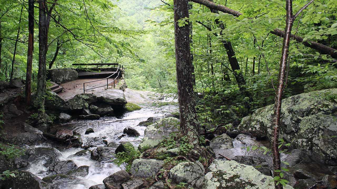
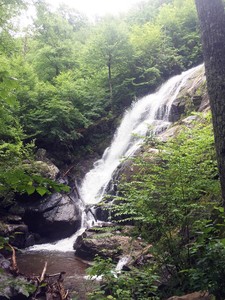
Crabtree is known as Virginia’s tallest and most beautiful waterfall. A quick search online for Virginia waterfalls will show Crabtree at the top on every list. Crabtree Falls is a series of waterfalls that is broken down into three distinct sections.
Crabtree Falls Campground
Located within walking distance of Crabtree Falls trailhead, is a beautiful hidden gem of a campground. Crabtree Falls Campground is appropriately named as it’s only half mile away from the falls. The owner is a welcoming gentleman who has a vast knowledge of the area he is willing to share. He will inform any of his patrons of breweries to check out and his favorite hikes in the area.
Climbing Up Crabtree
My travel partner and I walked from our camp to the Crabtree Falls trailhead. Here the hike is a 3.8 miles round trip hike to see all three sections of the waterfall. The hike is well maintained with plenty instances of stairs and paved path sections. The trail is a bit strenuous at times as you ascend pretty quickly. There are some minor rocks scrambles and no shortages of slippery spots. Luckily, there were plenty of spots to sit down and enjoy the art of nature we came to see.
The lower section is reached after hiking up several switchbacks at the base of the trail. Here there are multiple drops that range in length and one overlook on top of the rock dome. After we checked out the view on top of the lower falls, we made our way up and passed a rock cave. Shortly after hiking past the cave, we came to the middle falls. At the middle falls section we were rewarded with another cascade that pumps water through a crevasse at the bottom. Finally, we made it to the top of the falls. Up here, we were rewarded with a higher overlook of Tye Valley. At the top, you can’t even see the 200~ drop below you that starts Crabtree Falls.
Spy Rock Hike
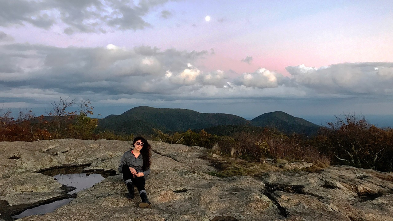
The next day we decided to tackle a hike the owner of Crabtree Campground told us about, Spy Rock. Spy Rock is a stunning rock dome viewpoint located on the east side of Maintop Mountain with full panoramic views of the Mt. Pleasant, The Priest, Religious Range, St. Mary’s Wilderness areas, and the eastern foothills. The trail is 3.2 miles roundtrip from the parking area.
Getting here was a bit confusing. The parking lot is located in a fish hatchery. Afterward, you have to go around a gate that states “no entry.” The no entry is for cars and we were told pedestrians can go through. The beginning of the hike was pretty verticle and had no switchbacks on the trail. We had to take a couple breaks on the first section up.
Following the signs was pretty straightforward and we made it to the top easily. Once we made it up, we climbed the rock and had it completely to ourselves. The view here was absolutely amazing and I even found a geocache box where I left some of my stickers! Absolutely need to do this hike if you make a trip to Crabtree Falls.


